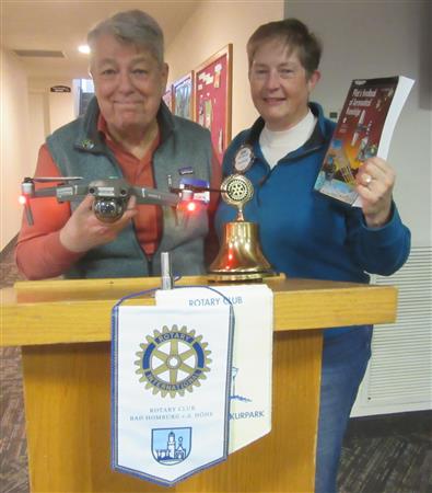
River Falls Rotary member Judie Babcock and her husband David operate River Sky Drones, a local business that creates aerial photography and video recordings showing the beauty of the Kinnickinnic River as well as other features of our area. They described how this hobby became a business, what is involved in getting the licenses necessary to operate drones for commercial purposes, and the other challenges they needed to meet to produce their video productions. The presentation included video clips from several of their projects to show how River Sky Drones uses the videos. This was a very cool presentation, including videos that the Babcocks have produced. This is one where you really should click READ MORE to get the rest of the story as well as links to videos.
The requirements for flying a drone are essentially those required to pilot an airplane: The pilot must have a pilot’s license, file a flight plan, and have a purpose or mission for your flight. The pilot should have insurance and be accompanied by an observer to help the pilot keep track of the drone and the activity in the surrounding area. The drone can’t be more than 1000 feet from the pilot, no more than 400 feet above the highest ground object, and must always be in visual contact. Judie as the observer helps with this, though she is also licensed to pilot the drone.
The drone can go 20 miles per hour and is able land automatically. Once an aerial video has been recorded, David then downloads the video from the drone and edits the recording to produce the final product. A 15-minute video may take a month to edit into the final product. The drone has a separate controller module but can also be controlled by a cell phone. The problem with controlling through cell phone is that if a call comes in, it can disconnect the phone from the drone and the drone might fly on its merry way. The internet has many instances of “lost drone”!
When flying over the Kinni, the Babcocks start the drone from the top of a cliff so they can get the best views to observe the drone. They program the drone to fly the same path so they can get exact copies of the same territory during different seasons.
In response to a question, David said that the drone and controller cost about $2,200. The drone videos are posted on their website, Facebook page and YouTube. Click on the links below to see the drone videos.